I get this question a lot. "What's the best way to give mobile workers the power of GIS?" Instead of giving them a straight answer, I ask them a simple question, "To do what?"
Their answers: "It's easier to get maps on a mobile device than to carry around paper maps," to "the mobile GIS would be more current, so I'd get better data in the field," to "I can access the entire electric or gas system."
These answers are all true and valid, but they don't really answer the question, "To do what?" A better answer is, "To help them do their work faster, safer and easier." GIS in the field is about helping workers do the things they do best: transformer inspections, construction, site surveying, field design, restoration. You name it. It also means providing the mobile worker with information about what will impact them while in the field.
Mobile GIS Enables Countless Workflows
Esri's suite of field apps delivers core capabilities, such as data collection, visualization, navigation and tracking. Using these, utilities can craft simple apps for countless field related tasks. Each app is a configuration targeted at a specific workflow. Each one includes a very limited set of information. Too often people think of GIS in the field as one thing – their office GIS in the hands of the mobile worker. It's not.
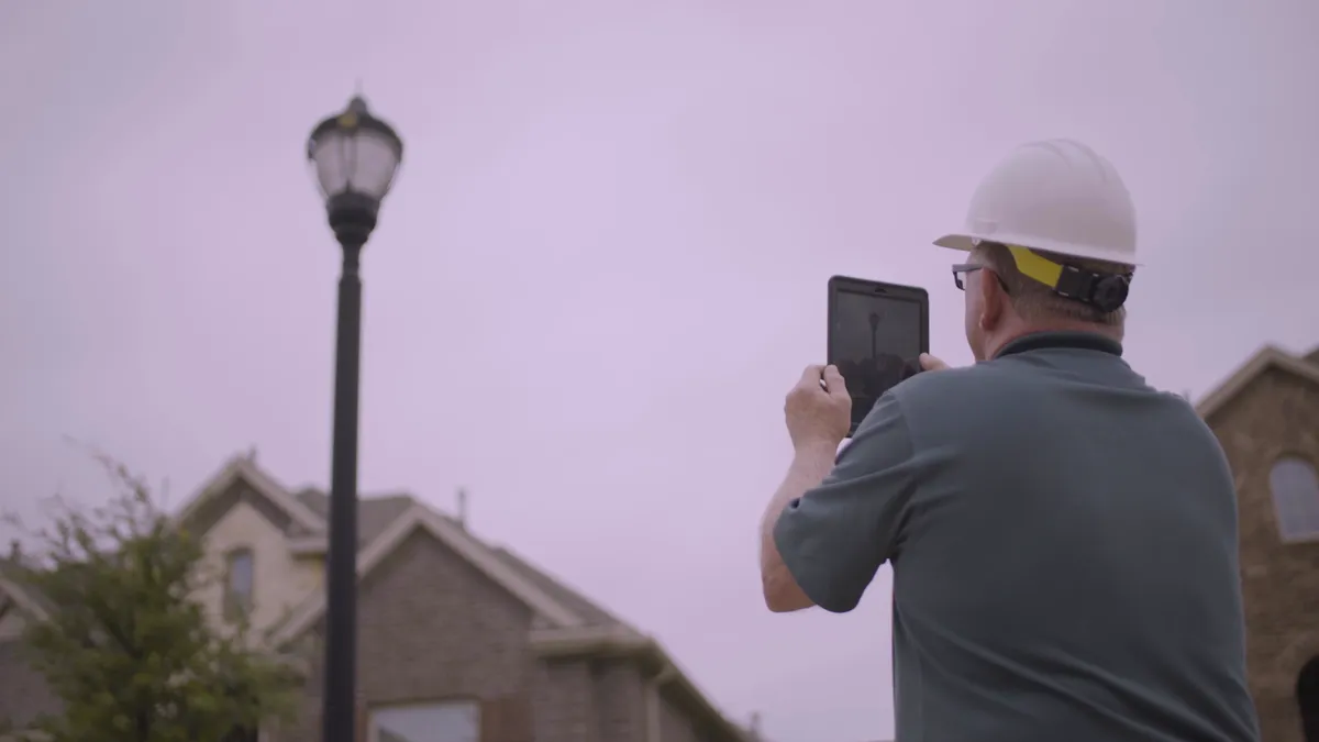
If a job is to do lamp replacements, then the app should show only streetlights and the data about them. Workers don't need or want data on switches, gas leaks, or dirty manholes. Why load up workers' mobile devices with everything they could ever want–but really don't need–on their tablets or smart phones. In addition, these field apps can deliver context to what is going on around them. It might be helpful to know something about the traffic, leaning poles, complaints about the lack of lighting or crimes in the area. The last thing the mobile worker wants is to be blindsided by a hostile group of neighbors. The need to know about hidden hazards and sensitivities.
This case study at El Paso Electric tells a story of mobile workers having insight into sensitive areas while they were doing their work.
GIS Helps Utility Workers Do Their Jobs
The more workers know about the work at hand and their surroundings, the better they do their jobs. And the safer they will be. That means knowing not only about the network assets they will be working on, but also what factors impact them and the public. They must consider all the conditions in the field. Are there hazards lurking around the corner? Not getting the right information about the job can be disastrous. Providing workers with extraneous information clouds their focus. What they need most are tools that help them do their work. What they don’t need is to tangle with complex applications.
Utilities need to give them apps that are targeted and focused on the work at hand.
Crews thirst for better information and tools. In the old days, the best mobile workers got were paper maps to guide them. Today, they need real-time information, timely, location-based, focused and accurate. Having the current data on their mobile devices showing what’s going on right now can be lifesaving. Not having the right information and tools increased the time to do the job. It impacts restoration, customers service and costs.
That's Where a Modern GIS Comes In
GIS in the field gives workers real-time operational awareness. It provides them with the tools to collect data quickly, easily, and accurately. Workers want to do their jobs. They don't want to be spending half their day deciphering paper maps. They need better tools to collect critical condition information about the assets. Field-based GIS makes collecting information fast, freeing workers to do what they do best: keeping the network healthy and customers happy.
They also need a better way of communicating the results of their work to the corporation.
GIS strengthens field operations in three ways. It gives workers awareness. It delivers the tools to capture and collect critical information. And it shares the collected information with the rest of the utility immediately. Visiting the crews in the field, I got the dramatic sense of location. Everything they did and that impacted them was dependent on their location - their surroundings, hazards, assets, and conditions.
Mobile GIS Apps Answer the Question, To Do What.
Since the GIS is an information system, it can deliver the right information mobile workers need to do the task they are doing right now. A utility GIS field strategy can be stated simply. Give the mobile worker just the right information for just the right place at just the right time on just the right device to do the work at hand. Come to think of it, that could apply equally well to the office workers as well.
To learn more about how GIS answers the question to do what download our latest e-book.


