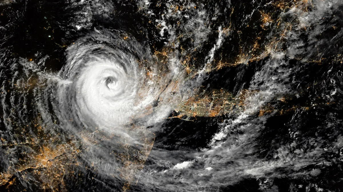
Each year, extreme weather events such as hurricanes cause billions of dollars of damage to infrastructure systems, residences and businesses. Utility repair and recovery costs often total millions for any event. Just this year, Hurricane Beryl became the earliest Category 5 hurricane on record in the Atlantic.
EPRI and a team of researchers at the Pacific Northwest National Laboratory (PNNL) collaborated to predict how the risks of hurricane-induced power outages are expected to evolve based on climate-driven changes to hurricane behavior.

The results show dramatically increasing power outage risk along the U.S. coastline--particularly in the Gulf Coast and Florida, as well as Puerto Rico—driven by an increase in the number of major hurricanes expected under a future climate change scenario. The data studied suggests storms may travel further and make landfall more often, power outage frequency may significantly increase, and outage events will likely be more severe.
The assessment relied on PNNL’s Risk Analysis Framework for Tropical Cyclones, or RAFT. Researchers used outage data from 23 historical U.S. hurricanes between 2016 and 2023 to develop a power outage model based on the characteristics of these 23 storm events. The team combined physical modeling with statistical and machine learning to create synthetic tropical cyclones, comparing storms simulated under current climate conditions with a future period of 2066 to 2100. The researchers then coupled modeled storm tracks with a prediction of power outages from each storm to characterize broad trends down to the county level.
Alongside the outage data, population statistics and geographic information at the county level refined the power outage prediction model. In an embedded, interactive map produced from this effort, utility planners, emergency services, and local and state officials can drill down to expected changes in outages within their counties, including future outages per person per decade. Multiple layers on the map offer a more complete picture of risk and can be used to conceptualize a community’s lived experience and inform a utility company’s planning decisions in areas such as grid hardening, crew preparedness and proactive investment.
The findings included conservative, high-level estimates of changing risk under a potential worst-case climate scenario of high carbon emissions. The projected power outages assumed a static system without hardening investments and do not capture any change in expected performance due to resilience upgrades on the grid, such as undergrounding lines or enhanced vegetation management. However, the results can help power companies and other stakeholders better understand how to prepare, mitigate potential damage and protect the locations expected to be under the greatest risk.
This work is a collaborative effort between EPRI and PNNL. EPRI’s Climate Resilience and Adaptation Initiative (Climate READi) is a three-year effort to develop a framework for assessing physical climate risk. EPRI’s final proposed Climate READi framework, which is comprised of science-based solutions, will be completed in mid-2025, helping to turn research into action plans.
This work also flows from PNNL’s extensive research in hurricane behavior, funded by the U.S. Department of Energy’s Office of Science. PNNL’s Integrated Coastal Modeling effort (ICoM) stands to deliver a predictive understanding of coastal evolution that accounts for the complex, multi-scale interactions among physical, environmental and human systems.
Recognizing the value of thoughtful investments in resilience, energy companies continually seek strong models to assess risk. Knowing what a change in storm characteristics might mean for power system impacts at the county level can be a powerful tool for exposing vulnerabilities and better understanding hyper-local weather hazards.
This project, examining expected changes in hurricane risks for affected communities, adds to a growing body of research on how climate change will affect future storm characteristics in frequency, intensity and location. Advanced modeling is helping system planners dig into local climate threats and deploy a vast array of solutions that make the most sense in their footprint.

