A utility digital twin includes a digital representation of the assets. It includes the processes of a utility. Relationships of the assets and processes with the customers, the environment and the community would be included. Finally, the digital twin would include how the grid behaves, so real-time data and simulations would be a part of it. Certainly, every utility wants a digital twin.
What Is standing in the way?
Utilities have many of the parts that make up a digital twin. They have real-time systems, simulations, digital imagery and assets stored in GIS and their ERP. While integrating all these systems is not always ideal, at least they have the components. So what’s the problem?
The data.
For a digital twin to make any sense, it must have impeccable data quality. At the heart of the utility digital twin is the GIS. It is the foundation for utility assets. It often is the place that collects data from the other core business and real-time systems. Yet most GIS data has three flaws.
Incorrect
First, a percentage of the data is wrong. Why is that? The reason is history. Nearly every utility GIS started as a migration of asset data from paper maps. The maps were never intended to model the system precisely. They were originally intended to help guide utilities to where things were located. Drafting people placed symbols in convenient locations to make sure they didn’t overlap with other information. Since these maps were used as guideposts, not models, they had to be mostly right, not precisely right. The connectivity of the devices was rarely considered. Phase designations were regularly wrong.
Incomplete
Nearly all electric utility paper maps only contained information about a portion of the network. If the maps had every imaginable information, they would be impossibly crowded. So utilities left off what seemed like less important information at the time. Or utilities maintained other parts of the network on a different system. The most common example is that utilities kept all their substation drawings in CAD files maintained by a completely different set of people. The other area of missing data was the low voltage systems. Transmission and sub-transmission data were often maintained separately and often in disparate systems.
Out of date
Even if the utilities were extremely diligent in assuring their data was correct and complete, the processes for keeping the data current took too long. This resulted in what is called data latency. Too often, after a piece of the network was put in service, getting that data to the GIS took too long. So, for example, when a work order is completed and field changes are noted on the construction documents, the documentation might stay in the queue for days, weeks and in some cases, months.
The combination of data inaccuracy, incompleteness and old renders the digital twin ineffective.
GIS mobility: the secret weapon
In a modern utility, the network is always changing. Crews are continuously replacing equipment, building new circuits and substations and replacing poles and wires. The old paper processes of updating asset information on paper maps or writing notes on a piece of paper create all three problems. First, when the paper gets to the person to correct the data into the GIS, the hand scribbling is often unintelligible and the data transcription creates incorrect information. It takes so long to get information from the field to the office, hampering the ability to get as much information from the field into the office. Their mantra was that they didn’t have the time to capture everything. And the piling of backlogged work orders created data latency. Also contributing to the problem were the organizational barriers between departments.
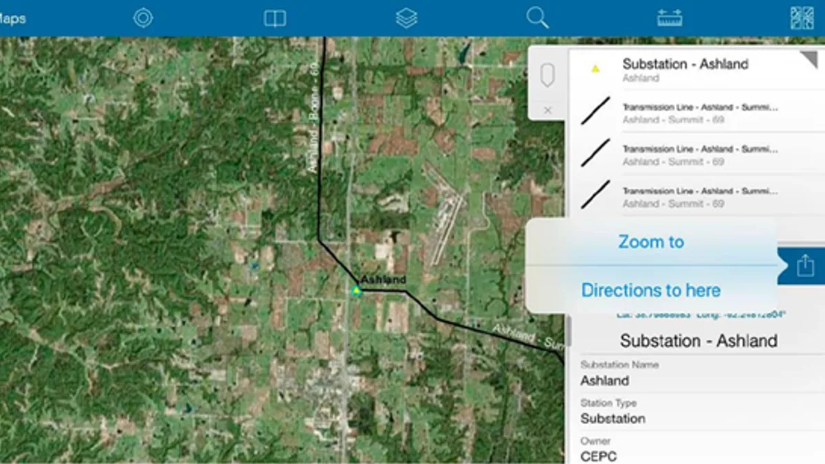
The solution is simple. A single GIS can work anywhere – in the office, underground vault, line truck or kitchen table. The notion of GIS mobility is not that there is a separate and distinct application called GIS Mobility. Rather, the GIS is one thing – an enterprise system that happens to work on mobile devices, just like social media platforms.
When a person in the field sees on their mobile device that the GIS is in error or missing something, they make the update right then and there on their mobile device. That update becomes part of the corporate system of record. Certainly, there are processes in place to make sure the data makes sense. This automatically creates a process of fixing incomplete or incorrect data. Getting the data into the enterprise at the point of entry eliminates the deadly backlog or data latency of data plaguing utilities.
A GIS with built-in mobility capability, such as Esri’s ArcGIS, drives the data to higher quality. It works especially well for utilities that don’t have a digital representation of their data or are in the throws of a field data collection process.
The last word
While GIS mobility substantially improves the utility’s data quality, it also lowers costs by automating tasks, creates a safer work environment and even helps utilities improve their compliance processes.
In the sidebars, see how utility companies Radius, El Paso Electric and Central Cooperative all leverage their GIS mobility capability. To learn more about GIS mobility visit our field operations website.


