New rules proposed by the Obama Administration could open unmanned flight to a variety of commercial uses, ultimately embracing a future where the small aircrafts help maintain power distribution lines, tend to crops or deliver packages.
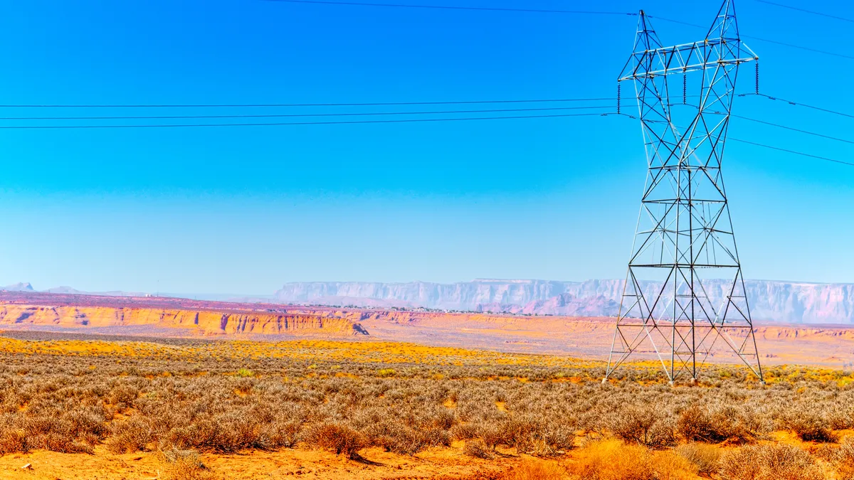
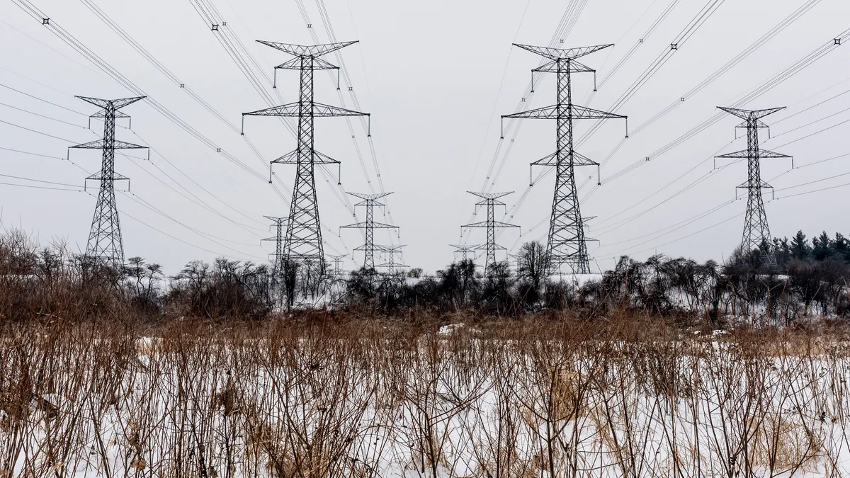
But the potential to use drones – technically, “unmanned aircraft systems” (UAS) – has been a subject of interest in the utility industry for years. It's a natural fit when utilities spend millions of dollars inspecting power lines which are elevated and often run in hard-to-reach places.
“Every time we fly [in a helicopter], it's about $1,200 to fly a mile,” said Jamie Exon. The utility inspects more than 26,000 miles of transmission and distribution lines, but can purchase a drone for less than $20,000.
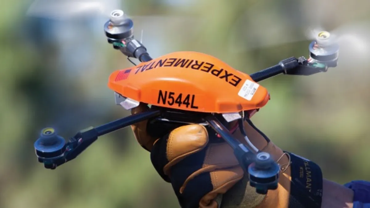
Exon manages the sole utility drone program in the United States. Last year San Diego Gas & Electric received a special airworthiness certificate from the FAA allowing the utility to research, test and train flight crews in a sparsely populated airspace in Eastern San Diego County.
“We've started seeing the potential of using the aircraft. We've flown it on a 500 Kv line and have validated that even with that high energy it does not interfere with our aircraft,” Exon said. The utility has completed a first phase of tests and will be purchasing larger drones capable of carrying more sophisticated sensors.
Exon is a drone enthusiast, but does not fly the utility's UAS because he not a licensed pilot. He said the utility has begun to see how their aircrafts can save time and money, and believes the research and regulation are moving ahead at an appropriate pace.
“These vehicles allow us to fly across and looks at the tops of polls where it's normally very difficult,” Exon said. “Multiple lines, multiple miles. It's a significant amount of money each year, and that's not including the time, how long it takes versus how quickly you can do it with the UAS.”
The vehicles themselves run about $6,000 and then the onboard systems and sensors can add another $10,000 to the price.
“If we fly 10 miles, we've paid for the vehicle,” Exon said. While the initial drones SDG&E used were outfitted with just simple cameras, newer systems could include high definition imaging, multi-spectral or thermal cameras or systems capable of mapping a three dimensional object.
Past study, other uses
SDG&E has the nation's only utility pilot program, but the interest has been there for years.
In 2012 and 2013 the Electric Power Research Institute (EPRI) flew tests in Alabama of prototype unmanned aerial systems and payloads of video and other sensing equipment. The flights tested two rotary winged devices and payloads that weighed less than 55 pounds and operated at altitudes under 100 feet. Payloads included high-resolution video and digital cameras that transmitted in real time information that utility system operators could use to assess the condition of power lines and related equipment.
Ultimately, EPRI determined the technology "can be deployed to improve the accuracy and timeliness of utility storm damage assessment." But the study also revealed challenges lay ahead in integrating the data and information generated by the UAS with utility operations.
And last year, the National Rural Electric Cooperative Association released a study on achieving a resilient and reliable grid. In it, the association imagined future case scenarios where "the utility may be able to dispatch a drone with cameras and a heat sensor to the site of the fault, both to analyze the lines and look for fires, downed trees, and other factors that could slow restoration."
While electric utility applications seem like a natural fit, the interest is much broader. In fact, the FAA estimates as many as 7,500 small commercial UAS may be in use by 2018, assuming the necessary regulations are in place.
CNN, for instance, earlier this year entered into a research agreement with the FAA to explore the technology's potential impacts on news gathering. And though the proposed new rules would not allow for it, online giant Amazon has said it envisions delivering packages by drone.
Regulations too restrictive?
The proposed rules would require the aircraft to fly below 500 feet and away from airports or dangerous airspaces. But importantly, they would also require drone operators to maintain “line of sight” with the vehicle, potentially taking several use cases off the table in the near term.
Sen. Charles Schumer (D-NY) has called the FAA rules “a good first step,” but he is also calling for significant changes to the final regulations.
“The FAA’s ‘line of sight’ rule appears to be a concerning limitation on commercial usage and this proposed rule should be modified,” Schumer said in a letter to the FAA
“It is hard to see how such a rule would not limit the legitimate use of drones in many commercial applications, including agriculture, mining, construction and infrastructure monitoring, land surveying and mapping, and delivering necessities to rural communities,” Schumer wrote.
Exon is less concerned, at least in the near-term, saying the FAA's approach fits in with SDG&E's own measured approach to the technology
“We're just focusing on line of sight right now,” he said. “The end game is to go beyond line of sight – that's where we'll see the most benefit and significant cost savings. … So what we're trying to do is just prepare ourselves so we'll be ready when the FAA is ready.”
“And all of our assets are 200 feet and below, so that fits in really well with what we're doing,” Exon said, referring to the proposed altitude restrictions on drone flights.
For now, SDG&E's pilot program requires drones be operated by an actual licensed pilot, but the proposed rules would loosen those restrictions.


