As the world’s nations prepare to assemble in Paris, France, next week for the final round of U.N. climate negotiations, there is much at stake for the American electricity sector.
It’s not just that electric industry is the U.S. economy’s single biggest emitter of greenhouse gases by sector. The effects of climate change, if left unchecked, could damage the American electricity grid on a scale that can only be imagined by today’s power sector players.
That’s the key takeaway from a new report from the Union of Concerned Scientists (UCS), released last month, that models the impacts of climate change and severe weather on five major coastal areas on the East and Gulf Coasts — the Delaware Valley, southeastern Virginia, the South Carolina Lowcountry, southeastern Florida, and the central Gulf Coast.
“A large share of the major substations and power plants that provide electricity to more than 70 million coastal residents is already exposed to flooding from hurricanes, nor’easters, or other severe storms,” the UCS analysts wrote in “Lights Out? Storm Surge, Blackouts, and How Clean Energy Can Help.”
But the paper's warning is clear: “Even more electricity infrastructure stands to be exposed, and to increasing floodwater depths, as seas continue to rise and drive storm surge higher.”
The grid's vulnerabilities to climate change
A confluence of factors are putting coastal grids at risk, UCS researchers found. Aging electricity infrastructure has contributed to a rise in general outages for utilities across the nation, and those vulnerabilities are especially exposed during severe weather events:
The consequences of extreme weather on the system have become more pronounced in recent years, UCS found.
“[F]rom 1992 to 2011, there were 1,333 reported disturbances to the transmission grid … Over those two decades, weather-related events caused an increasing share of total disturbances: from approximately one-quarter of tracked outages in 1992, to approximately three-quarters in 2011,” the report reads (for more recent numbers, see the chart above).
Weather-related outages on the grid tend to last longer than others, the analysts note, because storms can cover a large area and cause widespread problems. Their increasing frequency also means they cost the country billions of dollars per year:
The frequency and intensity of such severe weather — whether it's summer storms, blizzards, or major droughts — is widely expected to be exacerbated by global climate change.
The consequences of climate change could be particularly severe for coastal areas, as rising sea levels will cause storm surge to inundate larger areas, and at greater depths. This puts critical assets like power plants and substations in those areas at greater risk of flooding.
Besides inundation, there are many other ways climate change and weather can impact the power grid.
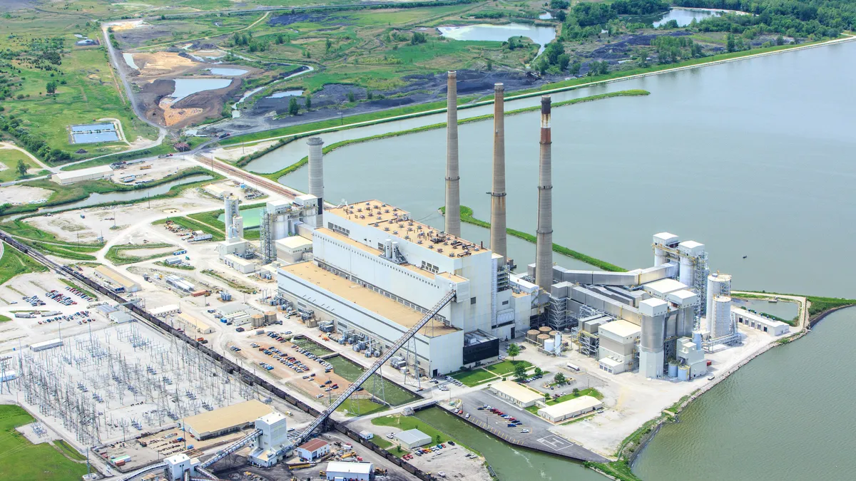
“For example, noninundated power plants may have to reduce generation or even shut down if floodwaters in surrounding areas disrupt access to the plant’s fuel supply,” the analysts wrote. “If trains hauling coal are stopped because tracks are flooded or damaged, or if natural gas pipelines are harmed in the storm, then generators could run out of fuel to burn to generate electricity.”
The UCS analysts chose the five coastal areas they studied not because they represented worst case scenarios for any of the factors, but rather because they represented a diversity of geographical characteristics, power sector infrastructure, and projected increases in sea level.
While the analysts looked decades out into the future to determine infrastructure risk, they also note that each region already has plants and substations at risk of inundation today.
“Strikingly, all the regions we considered already display significant exposure to storm surge from higher strength storms today,” analysts wrote. “As sea level rise continues to push flood levels higher, the depth of this flooding will worsen, and weaker storms could produce more severe storm surge than they would today.”
The Delaware River Valley
Stretching down from New York’s Catskill Mountains past Philadelphia, Pennsylvania, and Wilmington, Delaware, into the Atlantic, the Delaware River and its surrounding lowlands are a major conduit for commercial and industrial activity in the region. As such, the region is home to significant electricity infrastructure, including 71 power plants — 2 nuclear, 21 gas, 4 coal, 13 oil, 22 solar, 7 biomass, and 2 other — and 263 substations.
During a hurricane, the Delaware River can act as an opening for water to push back up into the channel, causing flooding risks for surrounding communities. Today, analysts wrote, a Category 3 storm could leave 79 major substations and more than 8,800 MW of generation exposed to storm surge and flood waters, even tens of miles inland. By 2050, the number rises to 84, “more than a third of which could be exposed at a depth of 10-15 feet or more.”
At present, the Delaware Valley “illustrates the piecemeal approach currently being applied to regional challenges” with sea rise and electricity infrastructure, analysts wrote. The region’s three states have all responded to the reliability challenges exposed by Hurricane Sandy in 2012 in different ways. Utilities PSE&G and Atlantic City Electric have both undertaken tree trimming and gas infrastructure upgrades, as well as elevating or hardening grid infrastructure vulnerable to flooding, but more will be needed in the coming decades.
“[A]s the president and CEO of Public Service Electric and Gas Company (PSE&G) noted in early 2015,” the UCS analysts wrote, “his utility builds to the guidelines required of it by policy makers, even when the states around them require more or less, and even if a stronger storm could still knock out their electrical infrastructure.”
Southeastern Virginia
With its countless inlets and small historic towns, the Hampton Roads region of Virginia is a region “defined by its coastal location,” the UCS authors wrote. The communities that populate the areas surrounding Hampton, Norfolk, Yorktown and Virginia Beach are tightly tied to the sea for commercial, industrial, and recreational purposes. Their region hosts 12 power plants — 1 nuclear, 1 coal, 2 gas, 4 biomass, 4 oil — and 132 major substations. Even today, their low-lying location puts them at serious risk of inundation.
“[I]f a Category 3 hurricane were to strike today, vast swaths of the region are at risk of inundation,” the analysts wrote. “Our analysis reveals that four power plants and 57 out of 132 major substations are at risk of flooding today, including 15 of the 18 major substations in Norfolk and nine of the 11 major substations in Hampton.”
While the geographical extent of flooding increases only “modestly” by 2050, analysts note, the impacts on the region would still be significant. 13 more major substations could face floodwaters, and an additional three could see inundation of 10-15 feet.
“In southeastern Virginia, 27 230-kV substations fall within areas potentially inundated by a Category 3 hurricane in 2050,” analysts wrote, “as do an additional 26 115-kV substations and four power plants.”
In terms of adaptation, the report notes that Dominion Virginia recently initiated a $500 million initiative to harden and upgrade substations, but much this “will emphasize protecting against physical assaults through the installation of such equipment as safety fences and security cameras.”
South Carolina Lowlands
The communities surrounding Charleston and dotting the coast of South Carolina are “deeply tied” to the waters that surround them. And while the region is well-known for its beaches, the UCS report notes that the region also “boasts a busy port and several major corporations.” To support industry, the region has 18 power plants — 2 gas, 4 coal, 3 oil, 5 biomass, 3 hydro, 1 solar — and 196 major substations.
Due to its low elevation, the region can give utility sector observers a view of the future, UCS analysts wrote. Already, Charleston suffers more than 10 tidal floods a year, and will “potentially see more than two dozen such floods per year by 2030.” On top of that, the region is projected to see more than a foot of sea rise by 2050.
If a Category 3 storm were to hit the region on top of those higher sea levels, “the impacts on coastal South Carolina could be severe.” Comprising more than 1,100 MW, 7 power plants in the region could see flooding, with four risking inundation depths of 5-10 feet and one even at 10-15 feet.
The situation would be especially dire for Charleston, where “most of the major substations transporting power to end users are at risk of exposure to deep and widespread inundation.”
“[N]early two-thirds of the 59 potentially exposed substations in 2050 are in locations projected to be inundated by more than five feet of water,” UCS wrote, “and of these, 14 could face floodwater depths of more than 10 to 15 feet.”
While the critical risk to electricity infrastructure exists even today in South Carolina, UCS reports that state policymakers have been slow to respond, mostly due to ideological aversion to the idea that climate change will cause sea levels to rise.
“[U]tilities have primarily focused on transmission line hardening when tackling system resilience,” the authors wrote.
Southeastern Florida
While its proximity to the sea defines the identity of Miami and its surrounding Florida communities, that location also makes it a frequent target of hurricanes — especially risky for electricity infrastructure and industry. In 2008, the UCS analysts note, Miami was ranked first of all the world’s major port cities in terms of the value of assets exposed to inundation today.
The region boasts 11 power plants — 1 nuclear, 5 gas, 4 biomass, 1 oil — and 222 major substations. While 37 of those substations are at risk today, UCS expects that number to jump to nearly 80 by 2050, and 119 by 2070. Flooding will be mostly confined to coastal areas in the early part of the tested period, but after 2050, the expected sea level rise of more than a foot will likely expose parts of Fort Lauderdale and other inland communities to increased inundation risk.
The Turkey Point nuclear plant, a major power supplier for the region, is likely to be safe from flooding due to a Category 3 storm until at least 2070, but “everything around it is likely to be [flooded], and damage to nearby major substations could still prompt widespread outages in the region,” the UCS analysts wrote.
Since a number of hurricanes hit its service area in 2004 and 2005, utility Florida Power & Light has taken significant steps to harden its grid, the analysts note, spending $1.8 billion on storm hardening for lines and poles. After Sandy in 2012, the utility began adding flood monitoring devices to some of its most critically threatened substations.
New Orleans and the Central Gulf Coast
It should come as no surprise that New Orleans and its surrounding areas are particularly vulnerable to sea level rise and hurricanes.
Hurricane Katrina left the power out for residents of the Big Easy for weeks, and the region’s electric infrastructure isn’t likely to get a break soon. In addition to the expectation for stronger storms due to climate change, the Gulf Coast is looking at the highest localized sea rise of any region examined — 1.9 feet — which could put electricity infrastructure at increased risk.
The heavily industrialized region boasts 21 power plants — 1 nuclear, 16 gas, 1 coal, 2 oil, 1 other — and 274 major substations. Even today, the situation is risky for these assets. A Category 3 hurricane hitting the region could leave “more than 9,300 MW of generating capacity and 188 major substations (108 of which are located in leveed areas) potentially exposed to flooding.”
By 2050, analysts note, the depth of flooding for many of these assets could become significant.
“Today, 119 substations are facing floodwater depths of 10 to 15 feet or more; by 2050, that number jumps to 141 substations and 12 power plants.”
Even after Hurricane Katrina, the UCS analysts write that progress in the region has been slow in adapting to the risks posed by climate change. While utility Entergy conducted a study in 2010 that pegged the possible economic losses from environmental impacts in the hundreds of billions of dollars, UCS writes that “much of the corporation’s resulting activities have been focused on prompting political action at the local level, rather than investing in long-viewed upgrades itself.”
Looking ahead toward solutions
For utilities and policymakers attempting to plan electricity infrastructure during the 21st century, UCS analysts stress that foresight is needed. Building an electric grid that is resilient in the face of a changing climate will require policymakers to take those expected impacts into account today. But, analysts write, planners largely “have yet to sufficiently reckon with those considerations.”
How utilities plan for new substations is a good example. At present, UCS notes, new infrastructure is typically given flood protections according to its current location on a floodplain. But as the report’s analysis shows, those floodplains are set to change a lot over the next few decades, meaning planners need to look ahead to protect these assets.
“Indeed, over the life of a new 40-plus-year investment, storm surge could eventually submerge equipment where no such flooding had ever been experienced or was ever expected,” the analysts wrote.
For existing assets, UCS writes, utilities have three main options:
- They can protect vulnerable infrastructure by building seawalls, dunes or wetlands
- They can accommodate rising sea levels and storm surge by elevating substations or using submersible equipment
- Or they can simply retreat — retiring or relocating the most at-risk infrastructure
But when it comes to mitigating climate change itself, that’s a more complicated matter.
The world’s leaders will take up the challenge beginning next week at the Paris climate talks, hoping to come to a broad international agreement that will allow them to bring down global emissions over time.
When it comes to the American electricity sector, you can check out our recent story on “How to decarbonize the energy system,” and use the tools provided there to plot your own path to nationwide emissions reductions.


