Adam Kurland is a federal energy attorney at Environmental Defense Fund.
The Department of Energy’s new National Transmission Planning study puts an exclamation point on the need for more long-range transmission between regions. The study, which models the grid under 96 future scenarios, finds that these lines are not only essential to creating a reliable and resilient grid that’s capable of connecting clean power to the communities that need it, they’re also the most cost-effective way to meet future power demand.
The next big question for transmission planners and developers is: where can we build these mega-wires to make this future a reality?
The study provides a map with a very rough approximation of where these interregional transmission lines could be located, but like most planning studies, it does not provide any detail on siting — the areas of land where the transmission line could be built. But the precise location of a proposed transmission line has enormous implications.
The specific tracts of land identified in the transmission siting process can make or break a transmission line. Lines that are built through forests, critical habitats, on private land or near residential neighborhoods can have greater impacts — and likely generate stronger local opposition. By considering critical siting details alongside the planning process, planners and developers have a better shot at getting the construction of indispensable interregional transmission completed far quicker.
Fortunately, there are near-term and long-term strategies to solve this challenge.
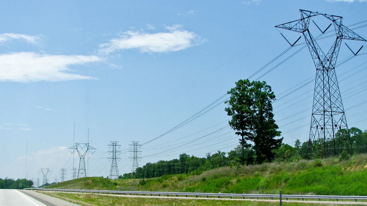
One major opportunity at hand now is maximizing the use of low-impact options for transmission hiding in plain “site”: highways, railroads and other infrastructure routes known as rights-of-way. These are pathways that already criss-cross regions and putting transmission alongside them can significantly reduce impacts compared to breaking new ground. In the short term, DOE can address this opportunity as part of finalizing 10 “transmission corridors” this fall. These are high-need areas for interstate transmission around the country where projects can move faster with access to a federal permitting backstop, bypassing what can be a decade-long permitting approval process across local and state agencies. Whether these corridors can deliver on their promise of removing barriers to building new transmission projects depends on where the boundaries are drawn.
An analysis by EDF and Horizon Climate Group finds that DOE’s preliminary corridors, while a major step forward, can be strengthened if more rights-of-way are included in the final boundaries. For example, the proposed Mid-Atlantic corridor across Virginia, Maryland, Pennsylvania and West Virginia is in serious need of new transmission to meet rising electricity demand in a growing region, especially as new clean energy projects come online and fossil fuel plants in the area retire. However, our analysis finds that the Mid-Atlantic corridor doesn’t include any nearby highway, railroad or pipeline rights-of-way. And this region is not an anomaly. We find that across the 10 transmission corridors, DOE should consider more rights-of-way, so we can build key transmission lines faster and with the least impact to communities and the environment.
On the longer-term front, we need to find ways to better integrate the planning of transmission and the siting of transmission from the get-go so that we don’t end up in situations where ideal pathways for transmission are missed. Currently, transmission planning and transmission siting are very different processes. Transmission planning is often driven by regional transmission organizations, which use economic and electric systems models to look at where transmission is needed at a broad level, while the siting process is driven by developers, which use existing authority, resources and experience to determine the precise location of the line.
DOE’s National Transmission Planning study expressly recognizes this interplay and specifically calls for the integration of siting details into planning models with “careful consideration of environmental, health, and community impacts and options” and says that additional analysis of transmission siting and routing is necessary. DOE and regional transmission organizations should follow through on that recommendation.
As a preliminary exercise, DOE can conduct an analysis of the extensive network of existing transportation system corridors, both rail and highways, and assess the tract-level viability of these corridors that are near and running adjacent to the transmission lines identified in the planning study. Similarly, regional transmission organizations could do this kind of analysis in their respective regions. Analysis of transportation routes would help bridge the gap between the disjointed planning and siting processes, giving planners and developers a better window into where low-impact pathways for transmission exist.
The Transmission Planning study underscores that meeting the evolving challenges of this century — withstanding extreme weather, electrifying large parts of the economy and connecting more clean energy projects to the grid — hinges on our ability to get long-distance transmission built. We have opportunities, both in the near-term and long-term, to avoid barriers that have held back these lines in the past by identifying easier siting routes for transmission earlier on. By leveraging railroads, highways and other rights-of-way in DOE’s transmission corridor process now, and by using analysis to uncover these routes in other planning processes, we can ensure that no low-impact “site” goes unseen. This merging of transmission planning and siting is vitally important to making a cleaner, stronger and more affordable grid a reality.


