The following is a contributed article by Geoff Zeiss, an independent consultant with more than 15 years experience developing enterprise geospatial solutions for the utilities, communications and public works industries.
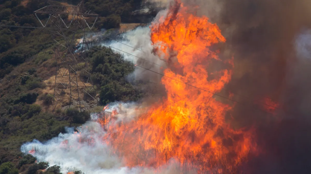
Transmission line inspections for vegetation management and other purposes are essential in ensuring grid reliability and resilience. We saw the devastating effect of vegetation encroachment in the recent California fires, which in part have been blamed on failure to maintain properly cleared transmission lines.
These inspections are generally performed by manned helicopters or by a ground crew. Data is collected with cameras and analyzed to detect diseased trees that could fall and hit a powerline (fall ins) or trees that are encroaching on powerlines (grow ins).
But both types of inspection approaches have limitations: they are expensive and time-consuming, introduce safety risks, are not always complete, accurate or timely, and in some cases, given terrain and air space restrictions, are not even practical.
Nonetheless, power line inspections are mandated by NERC in North America and are not optional. So it's inherent on the industry to find more effective ways to perform this critical safety procedure.
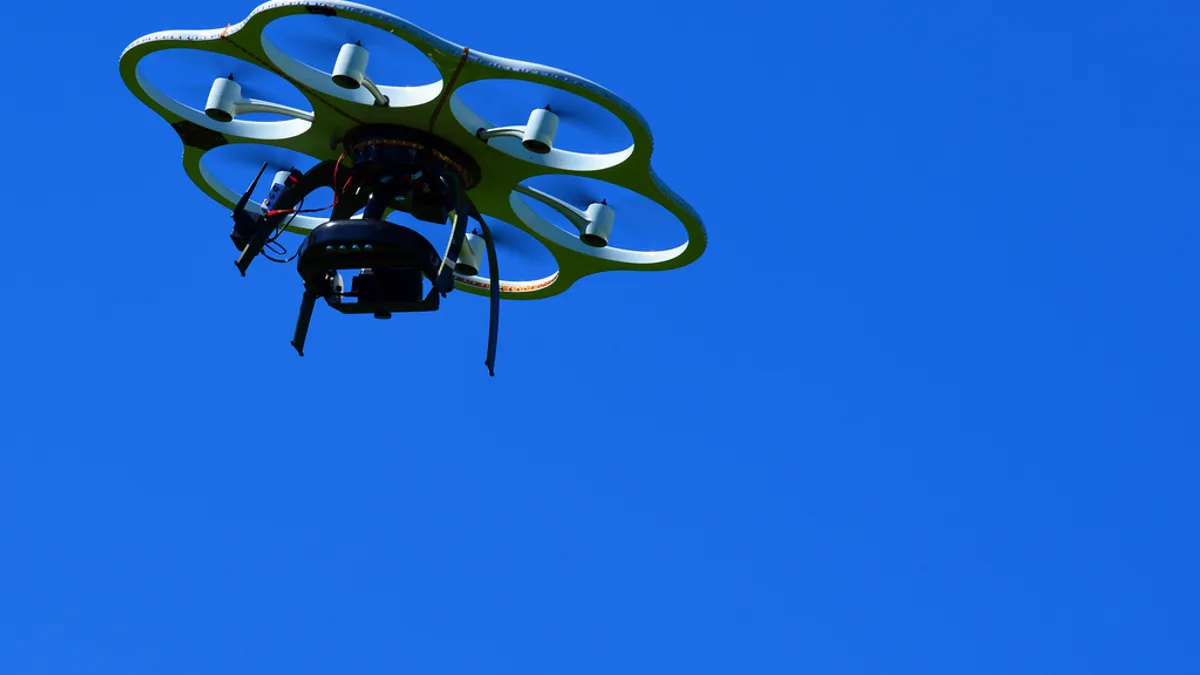
Beyond visual line of sight (BVLOS) drones (UAVs) and software analytics using machine learning have become a viable approach in many areas of the world.
With drones that can cover great distances in a single flight and provide detailed and accurate aerial imagery of transmission lines and other infrastructure, it is now possible to almost completely automate this expensive process. Automating transmission line inspections for vegetation management using BVLOS drones not only saves money, but also could improve the resiliency and reliability of the transmission grid.
Mapping transmission lines with BVLOS UAVs is more efficient
BVLOS drone operations have been safely and effectively used for utility and infrastructure inspections in many countries. At the 2019 International LiDAR Mapping Forum, in a very interesting talk, Paolo Guzzini of Delair described how BVLOS drones have been deployed to map transmission lines in remote areas of Iceland.
Delair conducted two surveys on behalf of EFLA Consulting Engineers, a general engineering and consulting company. EFLA needed to map existing power lines and survey an area where Landsnet, the main transmission system operator in Iceland, planned to build a new power line between two cities.
Iceland's airspace regulations allow BVLOS UAVs to be used in areas that are not densely populated. Delair deployed fixed-wing drones to gather two types of data: photography and LiDAR.
The drones were programmed to fly a predetermined flight plan so the pilot had to only monitor the drone's progress and be available for emergencies. Delair's drones were able to capture comprehensive data along the planned route and deliver the processed results to the client the next day — all at a fraction of the cost of hiring a helicopter or ground crew.
For this project, UAVs with a range of 110-120 minutes flew for up to 10 km per flight. In one case, the UAV flew a total of 70 km with a 21.4 megapixel photo camera to capture a corridor of 200m width to an accuracy of 0.5 m vertical and 0.2 m horizontal. The actual vertical accuracy achieved was 0.15 m.
In a second mission, a UAV flew at 100m a corridor 10 km in length with a LiDAR camera to capture a corridor 200 m wide with the objective of vertical accuracy of 0.5 m and horizontal accuracy of 0.2 m. The actual accuracy achieved was 4 cm horizontally and 2 cm vertically.
The advantage of using LiDAR is that it can achieve better accuracy in location, especially in the vertical dimension. In addition, the LiDAR approach was able to detect conductors and poles. In both cases, the range of the flights was limited by weather conditions, radio range (15 km), and weight of the camera payloads.
Advances in post-processing software use a combination of machine learning and other technologies to classify LiDAR point clouds with 85 to 90% reliability in order to identify potential vegetation encroachments.
BVLOS UAVs must become more useable in the US
More than 20 countries have regulations that permit BVLOS UAV flights. In some areas of the world, Delair has even been able to control flights via a 3G data connection, allowing a drone to inspect up to 30 miles in a single flight.
In the US, BVLOS is slowly becoming more common, which is a step in the right direction. Because of the cost of manned helicopters or ground crews to perform inspections, they are not typically done more often than required by NERC.
Full automation, which is possible with BVLOS UAVs and automated feature extraction of lines, pylons, vegetation and ground, would dramatically reduce the cost of inspection and enable more frequent flyovers. The major benefits would be lower costs and a reduction in the number and length of outages resulting from vegetation transmission line interactions.
On July 15, 2016, President Obama signed the FAA Extension, Safety, and Security Act of 2016.
The law requires the FAA to establish a process to allow certain UAV operations related to utilities, pipelines, and oil and gas production to be conducted beyond the visual line of sight of the operator and either in the daytime or nighttime. As a result, FAA rules now permit beyond visual line of sight UAVs through Part 107 waivers.
At this writing, 32 of these waivers have been granted but still with some restrictions. However, progress is being made and the FAA very recently began allowing BVLOS operation using radar to track the location of the UAV.
Conclusion
The rapidly evolving regulation to permit BVLOS operations is a good sign for the utility industry.
Examples of success — such as Delair's deployment of BVLOS drones with radio or 3G communications and automated post-processing, often cloud-based, to identify potential vegetation encroachment — indicate that we are on the cusp of being able to completely automate this type of transmission line inspection.
Using drones and automated feature extraction software not only dramatically reduces the cost of these inspections but makes possible more frequent inspections including on-demand — for example immediately after storms — which would impact positively the reliability and resilience of the transmission grid.


