Dive Brief:
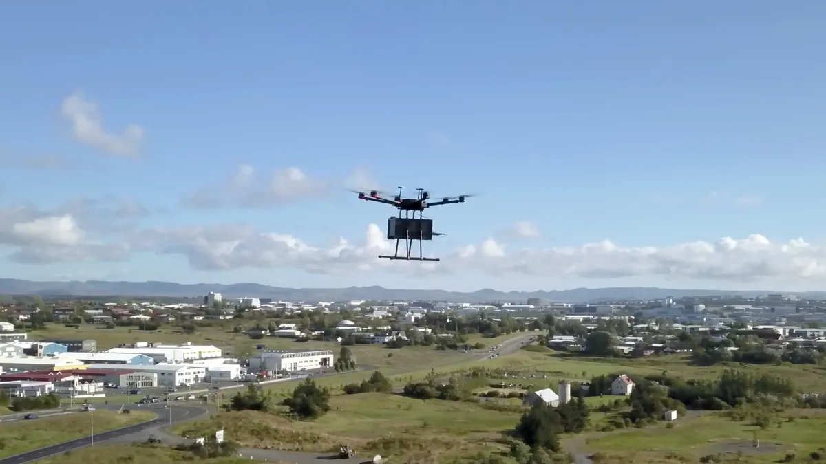
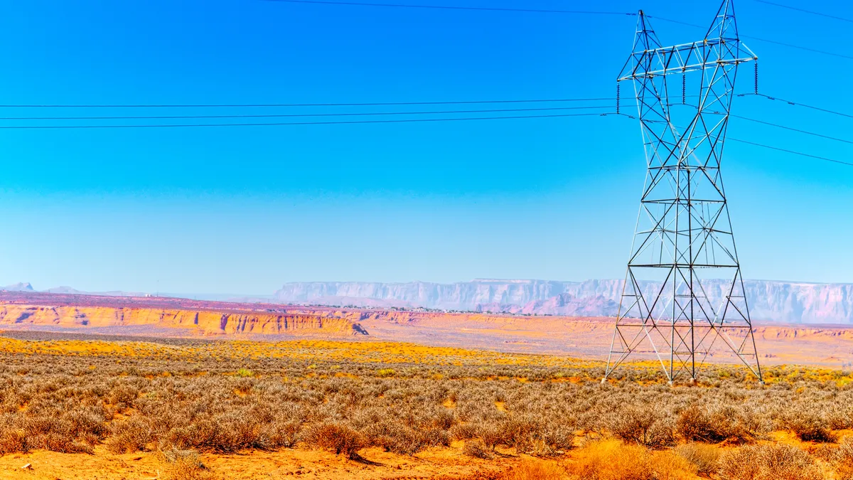
- Ameren, Black & Veatch and Collins Aerospace last month utilized a Beyond Visual Line of Sight (BVLOS) drone flight to inspect transmission lines, and in the process likely set a record for commercial unmanned flights in the United States.
- Officials at Black & Veatch called the achievement an "industry-leading" flight, and said 60 miles was almost certainly the longest BVLOS commercial drone flight in the United States to date. The Federal Aviation Administration (FAA) prohibits flying the aircraft beyond an operator's sight but has issued waivers for testing and research.
- Utilities are moving quickly to utilize unmanned drone flights to monitor power lines and other assets. In addition to being cheaper than a helicopter, the drones can return more and better data, remove risk to humans and allow utilities to be proactive with maintenance.
Dive Insight:
Using helicopters to inspect transmission lines is an extremely expensive proposition for utilities, but until recently there weren't many feasible alternatives. Drones have changed that, and as the FAA gets more comfortable with their use, they will become more valuable to utilities — as illustrated by the Ameren inspection.
For the last couple of years, utilities have been able to use drones to inspect power lines, but only within sight of the drone operator. That's an improvement for utilities needing information on the condition of critical infrastructure. But slowly, the FAA is experimenting with allowing longer BVLOS flights, and according to Jamare Bates, head of unmanned aerial systems operations at Black & Veatch, that's a prospect that has utilities excited.
"The real long-term value people see is when you can fly them beyond visual line of sight," Bates told Utility Dive.
There are a lot of reasons utilities are excited, but "the number one thing is visual data," said Bates. The drone allows utilities to get closer to the power line being inspected and to examine them more often. Lines that were inspected once a year or month can now be economically looked at weekly.
"Instead of these huge gaps in time, you have enough information coming in that you can start to find and fix things before they break," said Bates. "There is a lot of value in being more predictive and proactive. Utilities have very constrained budgets. ... The savings are really going to come from the frequency of inspections."
Along with visual data, Black & Veatch tested a Light Detection and Ranging sensor, more commonly known as LIDAR. "We have also done some testing with thermal cameras," said Bates. "The drone is just a mechanism to put a sensor in the air."
The FAA has given BVLOS authorization to other utilities as well: This spring, the agency authorized Xcel Energy to use drones to survey transmission lines near Denver, Colo. The utility has estimated that flying drones beyond line of sight will eventually cost between $200 and $300 per mile compared with helicopter flights that cost an average of $1,200 to $1,600 per mile.


